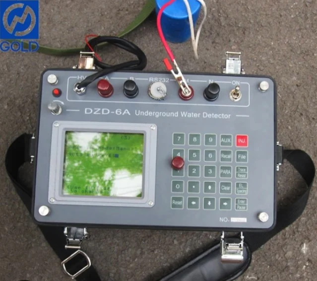
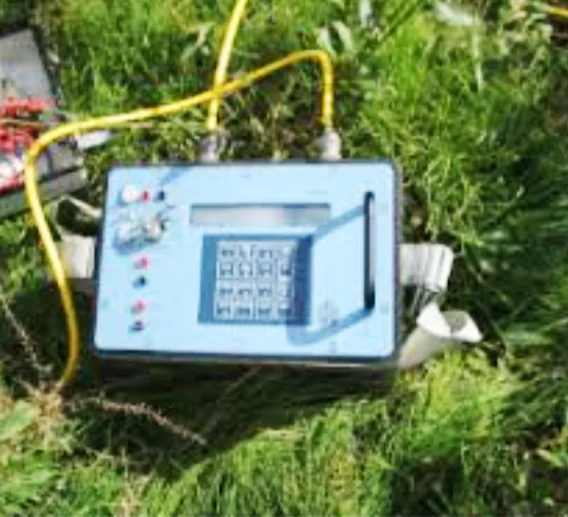
Unveiling the Hidden: Electrical Resistivity Tomography (ERT) Technology
Electrical Resistivity Tomography (ERT), also sometimes called Electrical Resistivity Imaging (ERI), is a geophysical technique used to create images of what lies beneath the Earth's surface. It works by measuring the electrical resistance of different materials underground.
Ever wondered what lies beneath the surface of the Earth? Electrical Resistivity Tomography (ERT) offers a powerful tool for geophysicists and engineers to peer into the unseen world of the subsurface. This non-invasive technique uses electrical currents to create detailed images, much like a medical CT scan but for the ground.
Electrical Resistivity Tomography (ERT) Technology
| Feature | Description |
|---|---|
| Technology | Electrical Resistivity Tomography (ERT) |
| Function | Creates images of subsurface structures by measuring electrical resistivity. |
| Principle | Different materials have varying electrical resistance. ERT measures this variation to create an image. |
| Method | Injects direct current into the ground and measures voltage at different points. |
| Applications | - Environmental studies (locating groundwater contamination) - Geotechnical engineering (identifying ground weaknesses) - Archaeology (detecting buried structures) - Civil engineering (mapping utilities, assessing foundation stability) |
| Advantages | - Non-invasive (doesn't require drilling) - High-resolution imaging (2D and 3D) - Adaptable to various environments |
Seeing Through Resistance
ERT operates on the principle that different materials have varying electrical resistance. By injecting a direct current into the ground through electrodes and measuring the resulting voltage at other points, ERT builds a picture of the subsurface's resistivity distribution. Materials like clay and saltwater have high resistivity, while metals and wet soil conduct electricity more readily, resulting in lower resistivity.
Applications Unveiled
This ability to differentiate between materials based on their resistance makes ERT a versatile tool across various fields:
- Environmental Studies: ERT helps locate and assess groundwater contamination by identifying areas with lower resistivity, potentially indicating pollution plumes.
- Geotechnical Engineering: ERT aids in identifying potential weaknesses in the ground, such as cavities or fault lines, crucial for safe construction practices.
- Archaeology: ERT can reveal hidden structures and artifacts by detecting variations in resistivity caused by buried objects with different properties than the surrounding soil.
- Civil Engineering: ERT is used to map underground utilities and assess the stability of foundations and slopes.
Advantages of ERT
There are several advantages to using ERT:
- Non-invasive: ERT doesn't require drilling or excavation, making it a cost-effective and environmentally friendly option.
- High-resolution imaging: ERT can produce detailed 2D and even 3D images of the subsurface, providing valuable insights.
- Adaptable to various environments: ERT can be employed in diverse settings, from deserts to wetlands.
Looking Ahead
ERT continues to evolve with advancements in data acquisition and processing techniques. As technology progresses, ERT will likely see even wider applications in various fields, offering a valuable tool for understanding the hidden world beneath our feet.
Leading Country in Electrical Resistivity Tomography (ERT) Technology
Leading Countries in ERT Technology and Specializations
ERT development is a global effort, some countries tend to focus on specific areas of expertise. Here's a table outlining some leading countries and their specializations in ERT:
| Country | Specialization |
|---|---|
| South Korea | Advanced instrumentation |
| Germany | Theoretical advancements |
| Japan | Civil engineering applications |
| United States | Widespread industry adoption |
| China | Environmental monitoring |
| Italy | Disaster mitigation |
| France | Permafrost & mineral exploration |
| UK | Water resource management |
| Canada | Data processing & interpretation |
| Australia | Environmental monitoring & Water resource management |
| Netherlands | Data processing & interpretation |
While there isn't a single country that dominates the field of ERT, several nations are prominent in its research and development:
-
South Korea: South Korean researchers have a strong focus on developing advanced ERT instruments and data processing techniques. Their contributions are pushing the boundaries of what ERT can achieve.
-
Germany: German research institutions are well-known for their theoretical advancements in ERT. They also play a key role in applying ERT in environmental and geotechnical fields.
-
Japan: Japan boasts a long history of ERT development and application, particularly in civil engineering and disaster mitigation. Their expertise is crucial in ensuring safety and stability in earthquake-prone regions.
-
United States: The United States has a well-established ERT industry with a diverse range of applications across various sectors. This widespread adoption helps drive further innovation in ERT technology.
A Global Endeavor
It's important to remember that ERT research and development is a global endeavor. These are just a few examples, and many other countries are actively contributing to advancements in this field. As research continues around the world, the future holds promise for even more powerful and versatile ERT applications.
Frequently Asked Questions About Electrical Resistivity Tomography (ERT) Technology
Electrical Resistivity Tomography (ERT) is a geophysical method used to image the subsurface based on the electrical resistivity of different materials. It involves injecting electrical current into the ground and measuring the resulting voltage distribution. Here are some common questions and answers about ERT technology:
Basic Concepts
- What is ERT?
- ERT is a geophysical method that uses electrical resistivity measurements to create images of the subsurface.
- How does ERT work?
- ERT involves injecting electrical current into the ground through electrodes and measuring the resulting voltage distribution. The resistivity of the subsurface can be inferred from these measurements.
Applications of ERT
- What are the main applications of ERT?
- ERT has a wide range of applications, including:
- Hydrogeology: Mapping groundwater aquifers and contaminant plumes.
- Geotechnical engineering: Investigating subsurface conditions for construction projects.
- Archaeology: Locating archaeological sites and artifacts.
- Environmental studies: Monitoring pollution and contaminant migration.
- Geothermal exploration: Identifying geothermal reservoirs.
- ERT has a wide range of applications, including:
- How is ERT used in hydrogeology?
- ERT can be used to map groundwater aquifers by identifying zones of high and low resistivity. It can also be used to track the movement of contaminant plumes.
Challenges and Limitations
- What are the challenges of using ERT?
- Challenges include:
- Electrode contact resistance: Poor contact between electrodes and the ground can affect data quality.
- Noise: Electrical noise from various sources can interfere with measurements.
- Data inversion: Inverting ERT data to create subsurface images can be complex and computationally intensive.
- Challenges include:
- What are the limitations of ERT?
- ERT is limited by the depth of penetration, which depends on the resistivity of the subsurface and the spacing of electrodes.
Future Directions
- What are the future directions of ERT?
- Future directions include:
- Development of new electrode configurations: Developing more efficient and effective electrode configurations.
- Integration with other geophysical methods: Combining ERT with other geophysical techniques, such as seismic and electromagnetic surveys.
- Automation: Developing automated ERT systems to improve efficiency and reduce costs.
- Future directions include:


